
Oakland Block Record Sources
Public block research has separate layers. County map tools show parcels and jurisdiction. The land index connects parcels with recorded instruments. A voter-file request can provide only legally releasable registration data for a chosen public scope. Local permit files can add dates or public address material, while historical directories and libraries offer dated context. None should be treated as a complete neighbor list. Start with the source that answers the narrow question, then retain the source date and the role each result actually shows.
| Oakland source | What it can show around a block | Public access path |
|---|---|---|
| Property Gateway and Enterprise GIS | Parcel boundaries, addresses, PINs, and municipal or district context | Address, PIN, or interactive map search; some report products are paid. |
| Super Index | Recorded parties and land instruments tied to a parcel | Free indexed search; copies cost money; online access begins in 1964. |
| Qualified Voter File | Redacted public registration fields within a selected legal geography | FOIA request through elections or the responsible local clerk. |
| City or township permit file | Public construction, inspection, notice, or date information where open | Responsible CVT portal or narrow request by address and date. |
| Main Street and local governments | Public civic-association contact routes and community jurisdiction | County community directory and local public contact pages. |
| Libraries, OCHS, and OCGS | Directories, clubs, churches, maps, obituaries, and local history | Catalog, research visit, microfilm, or reference request. |
| Michigan PSOR | Limited statutory public registry information by address, ZIP, or radius | State search with the registry’s own limits and status explanations. |
An owner on a deed, a mailing address in a tax record, a registered voter, and a historical directory entry are not interchangeable. Record a source as a lead until another official or dated record confirms the specific fact.
Oakland Neighbor Parcel Steps
The reliable Oakland block method is manual parcel review. Official crawlable material does not confirm a dedicated adjacent-parcel or radius button in the live viewer, so do not assume one exists. Instead, use map-click navigation and move outward one or two parcel widths from the target. This keeps each finding tied to a real parcel and avoids turning a loose radius result into a block claim. It also makes it easier to separate vacant lots, public buildings, and duplicate street numbers from a true neighboring parcel.
- Find the target address in Property Gateway and write down the PIN, situs address, and municipality.
- Zoom out slightly, click each parcel that shares a boundary or faces the same street, and save every adjacent PIN separately.
- Open each PIN in the property and recorded-document tools, keeping an owner, tax-mail recipient, or instrument party in its exact recorded role.
- Use the relevant CVT for any public permit, code, or local clerk record, since Oakland has no confirmed countywide building-file index.
- Compare source dates before drawing a block conclusion, then stop at any protected, confidential, or nonpublic record boundary.
The process is address → target PIN → surrounding parcel PINs → recorded land roles → local public context. The Oakland street directory follows a longer named-street trail when the question extends beyond the immediate block.
Oakland Block GIS Records
Property Gateway is the county’s parcel and map entry point. It accepts a property address or ten-digit PIN, supports partial address and PIN input, percent-sign wildcard searches, comma-separated PINs, and map clicks. A parcel automatically identifies its municipality. The Enterprise GIS service adds Voting Precinct, Municipal District, School District, ZIP Code Area, tax-district, County Area, state, and federal layers. Use those layers to understand which jurisdiction keeps a nearby public file, not to infer personal information from a boundary.
The official Oakland Property Gateway search is shown here.
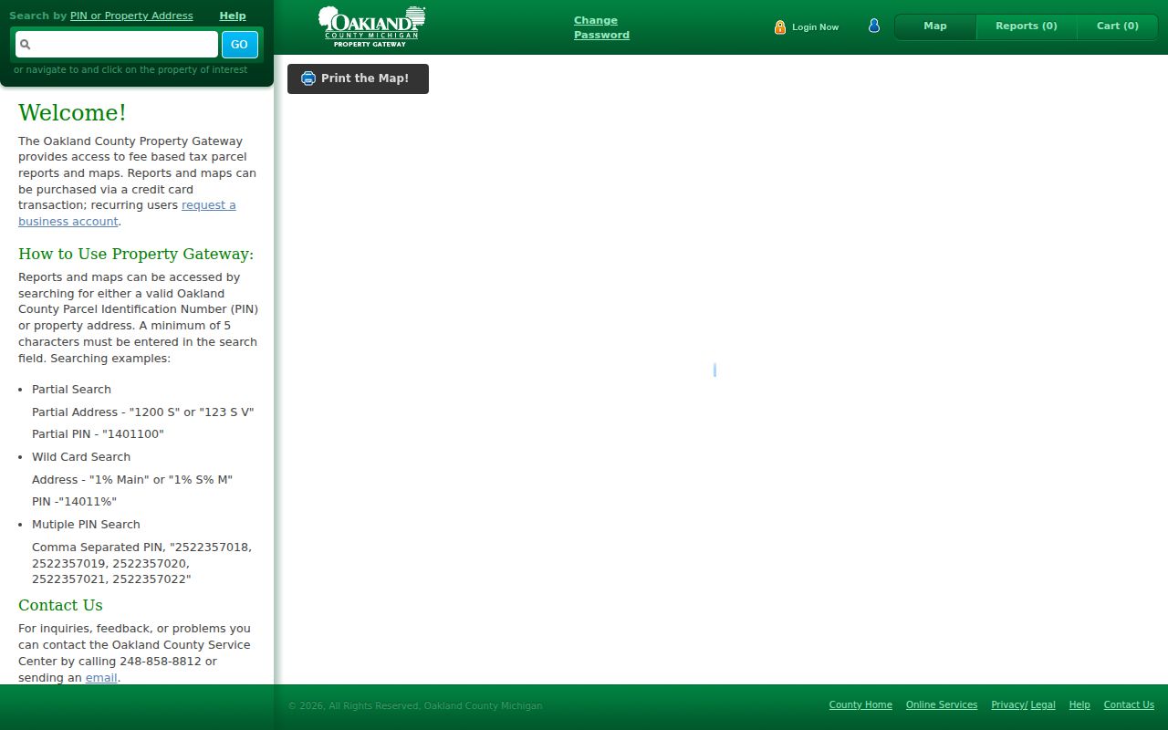
Gateway’s municipal-data disclaimer matters for block work. Its products and updates can differ by community, and the map is not a legal survey. Preserve the map date, PIN, situs address, and CVT before using another source.
The Oakland Enterprise GIS layer service is shown below.
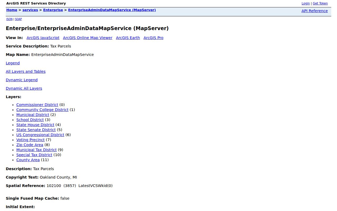
The GIS service is an interactive and queryable geographic resource, not a certified record. Its ZIP Code Area, precinct, and municipal layers can meet over the same block without sharing the same boundary.
Oakland Neighbor Deed Clues
Once a neighboring PIN is known, the Oakland County Super Index can supply recorded-document leads. Search is free by indexed information, including party, PIN, document, date, and advanced criteria; printing or downloading a document costs money. Online access begins January 1, 1964. Earlier land work needs the Register of Deeds, historical tract or grantor-grantee indexes, OCHS, OCGS, the Archives, or Library of Michigan holdings. A PIN is more precise than a broad name for the county’s property-record alert service.
The Super Index land-record search appears here.
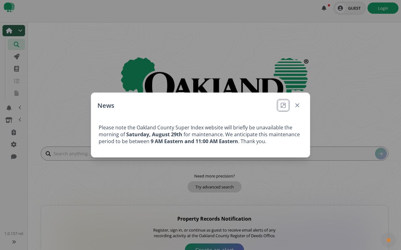
For each parcel, note the grantor, grantee, instrument type, recording date, document number, legal description, and image or copy status. A grantor transfers an interest and a grantee receives it. A recorded transfer is evidence about land, not a complete statement of current personal connection to that address.
Note: An absent online deed before 1964 is an access limit, not proof that Oakland land history is missing.
Oakland Block Voter Records
Michigan.gov/Vote provides a voter’s own registration information and clerk route. It is not a public browse-by-block display. A legally structured QVF request is the public-record route for a geography such as Oakland County, a jurisdiction, district, village, ward, or precinct. The requestor selects one scope, chooses the documented delivery route, and must respect the statutory redactions. For an address question, a local clerk can help identify the right election jurisdiction without turning the service into a casual neighbor list.
MCL 168.509gg protects driver-license and state-ID numbers, month and day of birth, phone, email, signature, the last four Social Security digits, certain registration details, and ACP entries. A releasable record may include name, residence or mailing address, year of birth, registration date, status, ID, and voter history. History indicates participation, not ballot choices, and Michigan does not register voters by party. The Michigan QVF request form documents the available geography choices and delivery options.
Oakland Civic Contact Records
Oakland County’s 62-CVT geography makes public civic contacts more useful than a supposed countywide neighborhood directory. The county’s Main Street program identifies public downtown-association routes for Rochester, Ferndale, Holly, Lake Orion, Farmington, Pontiac, and Ortonville. These are routes to a civic organization or community history, not proof that an individual is involved with the group. For a block outside those districts, first identify the address municipality through the parcel, then use the official community directory to find the local government and ask for a public historic-district, civic-association, block-club, or homeowners-association contact.
| Community route | Public contact use | Careful Oakland follow-up |
|---|---|---|
| Rochester and Ferndale | Main Street or downtown-association contact | Use the municipal route for current neighborhood organization information. |
| Holly and Lake Orion | Public downtown-association contact | Check village and township boundaries before seeking a local record. |
| Farmington and Pontiac | Main Street civic contact | Pair the contact with the responsible city or county custodian. |
| Ortonville | Public downtown-association contact | Confirm Brandon Township, village, and postal context for the address. |
| All other Oakland CVTs | County local-communities directory | Ask the named city, village, or township for the appropriate public contact. |
The Oakland County local-communities directory is the jurisdiction starting point. It is especially important around postal and township edges, where a community name in an address may not identify the record custodian. Public contact information can help a resident reconnect with a civic setting without treating a private contact list as a directory of private individuals.
Oakland Historic Block Records
A modern block can have an older address history. For a dated comparison, use the address section of a city directory or Bresser criss-cross volume for the relevant community and year. The Oakland County Historical Society shelf list records North Oakland County Criss-Cross editions for 1958 and 1960 and Bresser’s Cross-Index for South Oakland County for 1967–68. Pontiac directories, Polk volumes, the 1930 Arrow Street Guide, and a 1931 telephone directory add other documented periods. A listing is a snapshot from the publisher’s date, not proof of uninterrupted presence.
The OCHS shelf list lets a researcher confirm the available run before seeking a volume. Pontiac Public Library supplies another fallback through local-history resources, a digital Oakland Press search from 2004 onward, and an 1835–2019 microfilm collection; staff can research a narrow date window for $3. OCHS, OCGS, the Library of Michigan, and the Archives are the next routes when a web index ends or the needed year is not digitized.
Oakland Neighbor Source Comparison
Official records and commercial neighbor compilations serve different purposes. A parcel source can show a parcel boundary and land-related record trail. A compilation can merge old address, phone, directory, deed, and marketing material, which may join similar names or retain a stale address. The public-record workflow is slower because it keeps the source and date visible, but that is what allows a user to distinguish a recorded owner from a tax-mail recipient or a historical directory entry.
| Source type | Best use around an Oakland block | Limit to keep in view |
|---|---|---|
| Official parcel, deed, and GIS records | Confirm a parcel, land role, instrument, or jurisdiction with source dates | They do not identify every person connected to an address. |
| QVF or local clerk record | Request a legally releasable public registration record in the right geography | Protected fields and ACP entries remain withheld. |
| Commercial compilation category | Use only as a prompt to verify a fact at its custodian | May combine stale data or confuse people with similar names. |
Michigan’s Public Sex Offender Registry is a distinct statutory registry, not a general neighbor source. It supports name, address, city, county, ZIP, and limited radius searches, and it has its own status meanings and public-access limits. Use the registry only for its stated public purpose, never as a substitute for parcel, voter, or civic records.
The state registry’s official search page is pictured below.
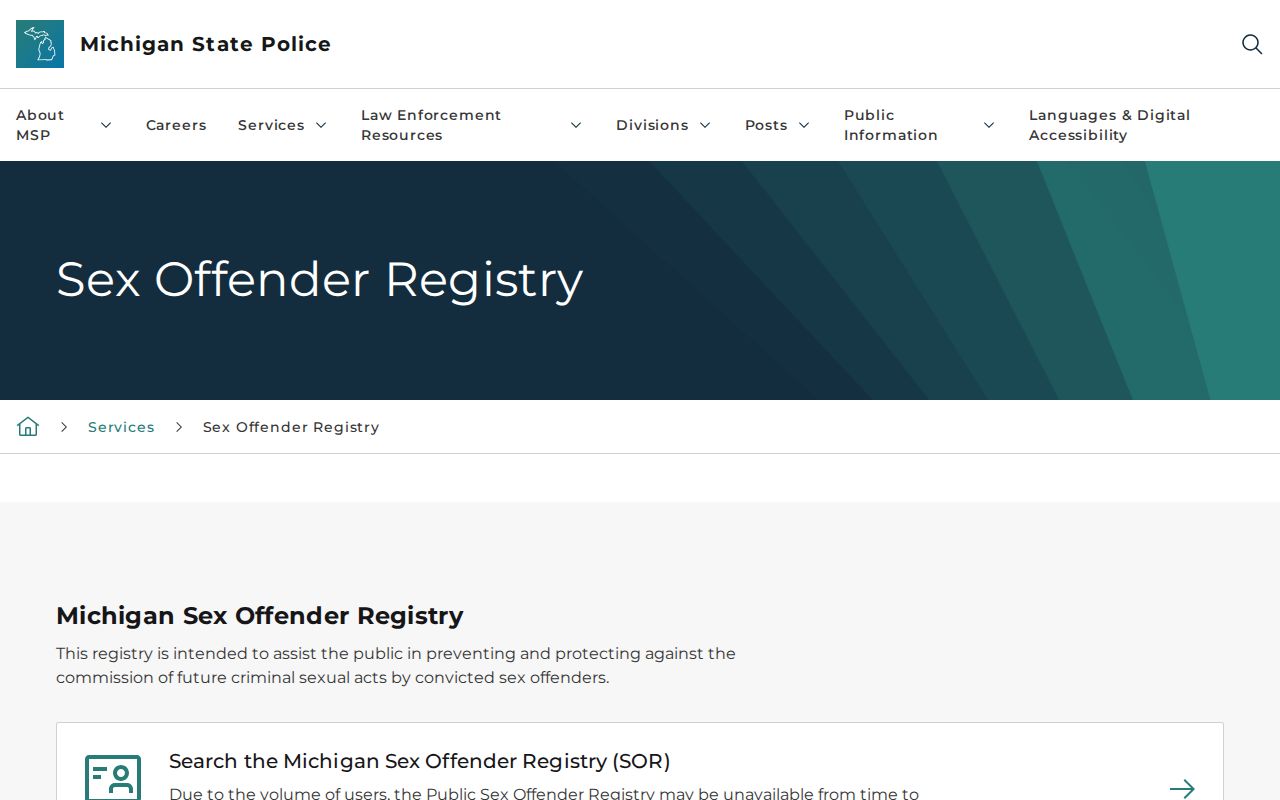
The search interface shows location modes but not a complete account of a block. Keep any result inside the registry’s legal limits and verify a status through the responsible official channel.
Oakland Neighbor Privacy Boundaries
Some information around a parcel is private by law or by its custodian’s rules. Utility and delivery customer data are not public sources. Driver and vehicle information is limited by the Driver Privacy Protection Act. ACP participants receive a substitute address and their voter records are withheld from public production. Court, vital, and election records also have their own redactions and confidentiality rules. Do not attempt to reconstruct a protected address by combining parcel, voter, court, or directory sources. A no-result may only mean that the selected public source does not contain the information.
Lawful personal use. Oakland neighbor records can support family-history, civic, and personal-safety research. They must not be used to monitor, harass, threaten, or expose a protected person; Michigan stalking laws prohibit that conduct.
For an official-source error, identify the document number, page or case number, the inaccurate field, and the requested correction route to the custodian. An ACP substitute address is a safety protection, not a prompt for additional searching. The Michigan Address Confidentiality Program describes eligibility and its substitute-address protections.